Commercial Drone Services
Gresham, Oregon

The experts at Air Axis offer yearly, monthly or one-time inspections for all kinds of infrastructures and industries.

Commercial Drone & UAV Services

Our range of Commercial Drone & UAV Services in Gresham, Oregon encompasses a wide array of applications. From aerial inspections to infrastructure monitoring, our fleet of advanced drones is equipped to handle any commercial need.

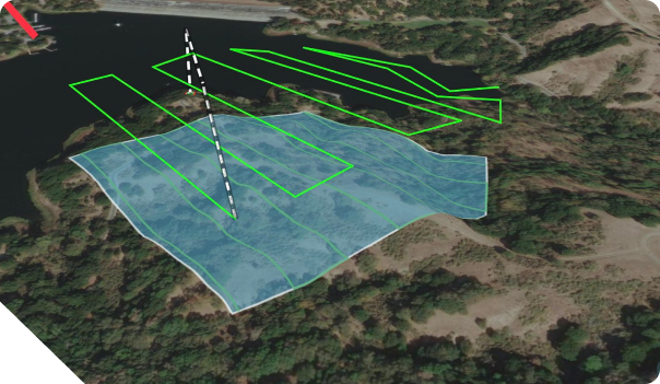
MAPPING AND SURVEYING

Our drones can cover ground people can’t. From expansive land surveys to topographic mapping, our fleet delivers accurate data swiftly, helping you go to uncharted places.
INDUSTRIAL
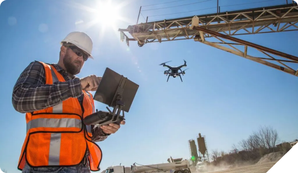
INSPECTIONS

We enhance safety and efficiency in industrial inspections. Our drones can access hard-to-reach structures and conduct detailed inspections of buildings, pipelines, solar panels and more, minimizing risks and reducing downtime.
Agricultural Support

Optimize agricultural operations with our drone solutions. Our aerial monitoring aids in crop health assessment, irrigation management, and yield prediction, empowering farmers with valuable insights for improved productivity.
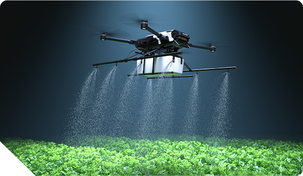
Agricultural Support Agricultural Support

Expertise and Experience

Air Axis was founded by sustainable energy industry experts, so we know the importance of inspections inside and out.

Cutting-Edge Technology

We invest in the latest drone technology and equipment, ensuring reliability, efficiency, and the highest quality results for every project.

Compliance and Safety

We prioritize safety and compliance with industry regulations. Our experts adhere to strict safety protocols and guidelines, providing you with peace of mind.

Customized Solutions

We believe in the power of customization. We work closely with our clients to understand their goals and tailor our services to meet their specific needs.

City, State

Gresham, Oregon

Population

113,103

Map Coordinates

45.50 N122.44 W

Median Home Price

$411,100

Housing Units Owner Occupied

25,532

Housing Units Renter Occupied

17,955

"Air Axis has been instrumental in providing us with exceptional aerial footage for our real estate projects. Their professionalism and attention to detail are truly commendable."
- Real Estate Developer

"The mapping and surveying services offered by Air Axis have significantly expedited our project timelines. Their accuracy and efficiency are unmatched."
- Construction Company

READY TO TAKE YOUR PROJECTS TO NEW HEIGHTS?

USE OUR PRE-FLIGHT CALCULATOR TO GET A QUOTE ON DRONE SERVICES TAILORED TO YOUR NEEDS

GET A QUOTE