SERVICES
Commercial Drone & UAV Services
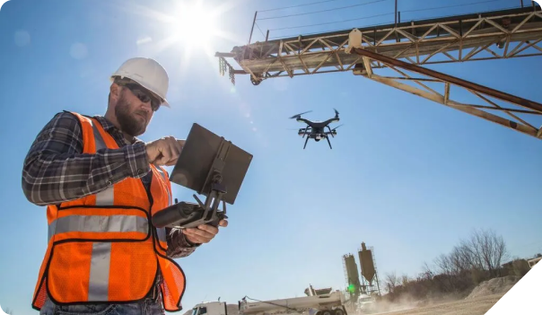
Our range of Commercial Drone & UAV Services in Spokane Valley, Washington encompasses a wide array of applications. From aerial inspections to infrastructure monitoring, our fleet of advanced drones is equipped to handle any commercial need.
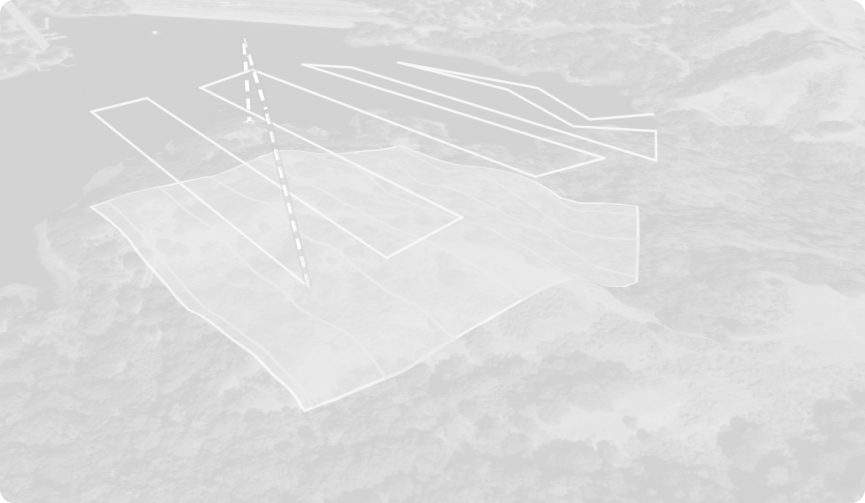
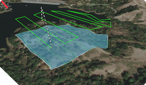
MAPPING AND SURVEYING
Our drones can cover ground people can’t. From expansive land surveys to topographic mapping, our fleet delivers accurate data swiftly, helping you go to uncharted places.
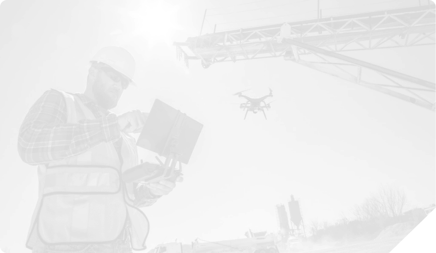
INDUSTRIAL
INSPECTIONS
We enhance safety and efficiency in industrial inspections. Our drones can access hard-to-reach structures and conduct detailed inspections of buildings, pipelines, solar panels and more, minimizing risks and reducing downtime.
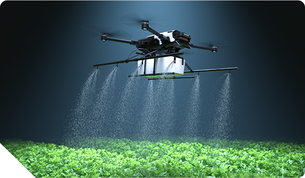
Agricultural Support
Optimize agricultural operations with our drone solutions. Our aerial monitoring aids in crop health assessment, irrigation management, and yield prediction, empowering farmers with valuable insights for improved productivity.